Digital Cartography Summit
Scientific Symposium on NextGen CartographySpeakers
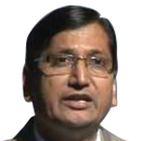
DR. SWARNA SUBBA RAO
Surveyor General
Survey of India
Survey of India
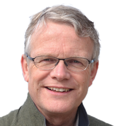
PROF. MENNO JAN KRAAK
President
International Cartographic Association
The Netherlands
International Cartographic Association
The Netherlands

PROF. CHRISTIAN HEIPKE
President
ISPRSGermany
ISPRSGermany

ModeratorPROF. MENNO JAN KRAAK
President
International Cartographic Association
The Netherlands
International Cartographic Association
The Netherlands
Presentation on: Trends in Mapping based on ICA’s Geography and History
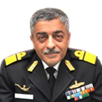
Vice Admiral Vinay Badhwar
Chief Hydrographer of India
Anil Agarwal
Founder and VP Operations
Micello
India
Micello
India
STUART MINCHIN
Chief Environmental Geoscience Division
Geoscience Australia
Australia
Geoscience Australia
Australia
Mark Cygan
Industry Manager
Mapping, Statistics and Imagery,Esri
USA
Mapping, Statistics and Imagery,Esri
USA

Malcolm Havercroft
Director of Operations
Ordnance Survey International
UK
Ordnance Survey International
UK
KK Joadder
Chief Planner
TCPO
TCPO

ModeratorPROF. MENNO JAN KRAAK
President
International Cartographic Association
The Netherlands
International Cartographic Association
The Netherlands

Prof. Shaowen Wang
Professor, Geography & Geographic Information Science, Professor, Computer Science, Founding Director, CyberGIS Center for Advanced Digital and Spatial Studies
University of Illinois at Urbana-Champaign (UIUC)
University of Illinois at Urbana-Champaign (UIUC)

Johannes Riegl Jr
Chief Marketing Officer
Riegl Laser Measurement Systems
Austria
Riegl Laser Measurement Systems
Austria

Brian Nicholls
Executive Director
AAM
Australia
AAM
Australia
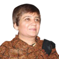
DR. SEEMA M PARIHAR
Associate Professor in Geography
Kirori Mal College, University of Delhi
India
Kirori Mal College, University of Delhi
India
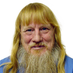
E. Lynn Usery
Research Physical Scientist and Director of the Center of Excellence for Geospatial Information Science (CEGIS)
U.S. Geological Survey (USGS)
U.S. Geological Survey (USGS)

ModeratorPROF. CHRISTIAN HEIPKE
President
ISPRS
Germany
ISPRS
Germany

ED PARSONS
Geospatial Technologist
Google
UK
UK
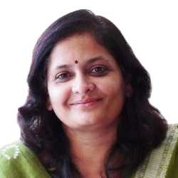
Pratima Joshi
Founder and Executive Director
Shelter Associates
India
Shelter Associates
India
Presentation on: One Home One Toilet
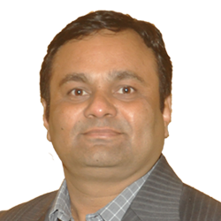
Snehal Bokare
Regional Director
Bentley
Bentley
MAHESH REDDY
Senior General Manager - Technical Services
Hexagon Geospatial
India
Hexagon Geospatial
India
Bio
Presentation on: Cloud based Next-gen Mapping and Analytical Tools

ModeratorPROF. MENNO JAN KRAAK
President
International Cartographic Association
The Netherlands
International Cartographic Association
The Netherlands

PROF. CHRISTIAN HEIPKE
President
ISPRS
Germany
ISPRS
Germany

DR. SWARNA SUBBA RAO
Surveyor General
Survey of India
India
Survey of India
India

Johannes Riegl Jr
Chief Marketing Officer
Riegl Laser Measurement Systems
Austria
Riegl Laser Measurement Systems
Austria

ED PARSONS
Geospatial Technologist
Google
UK
UK
* Tentative Speaker
During Geospatial World Forum 2017, Geospatial Media will organise a two-day Digital Cartography Summit: A Scientific Symposium on NextGen Cartography that will aim at defining future trends in digital mapping and Cartography in terms of methods of data collection, processing and application. This international symposium will be addressed and attended by cartographers from across the world and will be marking the 250th year anniversary of Survey of India.
Symposium Objectives
- Elaborate current and upcoming trends in digital mapping data capture, processing and application
- Discuss challenges faced by cartographers in adopting to changing user needs and platforms
- Provide opportunity to network and dialogue amongst members of international cartographic community
Topics to be covered
Interdisciplinary Approaches to Digital Map Generation
- Satellite Imagery
- Terrestrial Sensors
- Crowd Sourcing
New age Visualisation and Representation
- 3D Mapping
- Augmented reality
- Cyber Cartography
- Real-time data handling and visualization
- Symbols and representation in digital age
- Geospatial and Location Analytics
Map usage in 21st century
- Diversified user experience and needs
- Location-based services
- In-door navigation


