SAR & UAV
12 May 2022, EXHIBITION AREA - THEATRE 2
Agenda

Guy Thomas

Sven Przywarra

Scott Larson

Lauren Guy

Ricardo Michel

David Monetti
BACKGROUND
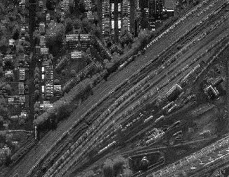
Steadfast and precise monitoring of Earth is crucial to all geospatial applications. However, most sensors cannot capture data at night or through clouds, precipitation, dust, or smoke. Synthetic Aperture Radar (SAR) is an alternative way to gather data, take pictures, and measure relationships. It can be used day or night, providing 24/7 access. Because of its vast capabilities, SAR has numerous applications spanning various industries—from change detection, flood mapping, pipeline monitoring to intelligence gathering and military surveillance; the list is endless.
Drone or unmanned aerial vehicles (UAVs) technology has dramatically transformed various industries. High-precision drone platforms and photogrammetry software are streamlining processes and improving efficiency. Drone data is an integral part of managing forestry and smart agriculture. Drone-based LiDAR is helping construction projects managers accurately complete a task. For surveying and mapping drones are enabling organizations to create highly-accurate maps and point clouds, discover costly on-site errors, and predict schedule delays, saving huge amount of money. The energy industry is leveraging drone data throughout its inspections and management. Drones are also rapidly becoming a standard tool for public safety and disaster management teams.
