Smart Cities, Sustainable Cities
ICT and Geospatial Technologies – Enabling Smart Cities, Sustainable CitiesSpeakers

Open Geospatial Consortium (OGC)
USA

Govt. of Andhra Pradesh
India
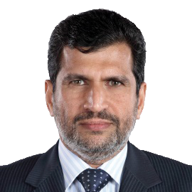
Esri
India

Singapore Land Authority
Singapore

Trimble Buildings Architecture Division
India

Project Delivery and Global GIS Business Development
Rolta Middle East
UAE

Municipal Administration & Urban Development, Government of Telangana
India

India

AAM
Australia

Elcome Technologies
India

Turner
India

FARO India
India
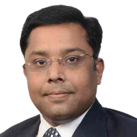
Hexagon Geospatial
India

Ministry of Culture
India

Bentley Systems
Singapore
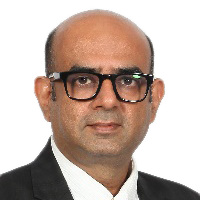
Rolta India Ltd
India

Bruhat Bengaluru Mahanagara Palike
India
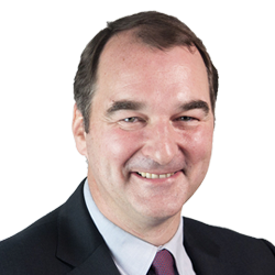
Cyient
United Kingdom

Geokno
India

Avineon
India
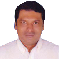
Genesys International
India
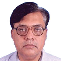
Utility Mapping and Urban Development National Informatics Centre
India

Cisco Systems Inc.
India


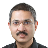
Oracle
India

Dell EMC
India

Robert Bosch Engineering and Business Solutions Ltd.
India

IIC Technologies
United Kingdom

Smart Cities Council
India
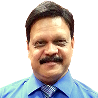
Rolta
India
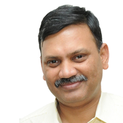
Madhya Pradesh Police
India
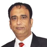
MapmyIndia
India
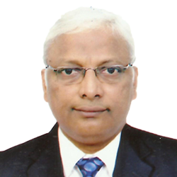
Training & SUMC Municipal Corporation of Greater Mumbai (MCGM)
India

RIEGL
Austria

Cyient
India
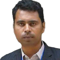
Gujarat International Finance Tec-City
India
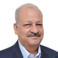
Thomson Reuters
India

Honeywell Building Solutions
India
Proposed Program Outline
Day 1: 24 January 2017
Smart & Spatially-Connected Governance
Networking Tea/Coffee Break and Visit to Exhibition
Networking Lunch
Sustainable Urban Design & Construction
Networking Tea/Coffee Break
Smart Utilities
Day 2: 25 January 2017
Smart Mobility
Networking Tea/Coffee Break and Visit to Exhibition
Networking Lunch
Safe City
Geospatial technology is central to providing a technology platform that forms the backbone of a city - enabling better city governance through greater automation, better asset monitoring, sustainable urban planning and intelligent routing and transportation services.
The two-day program on Smart Cities, Sustainable Cities will feature experts from urban/city planning, engineers/consultants, mobility and transportation experts, technology providers and research/academic institutes to brainstorm on the opportunities, challenges and scope for developing a truly smart city through integration of ICT and geospatial technologies.
Main themes to be discussed:
Smart & Spatially-Connected Governance
City authorities has been aggressively pushing for innovative e-Governance to provide greater efficiency, community leadership, mobile working and continuous improvement to citizen services. Session will focus on how ICT and geospatial technologies are enabling smart governance, including facility and asset management, urban cleanliness & waste management, environmental monitoring, public works approval, housing and building permits, and others.
Sustainable Urban Design & Construction
Conservation and restoration of natural assets, as well as development of green infrastructure assets are critical part in creating a sustainable city. Session will highlight how geospatial technology contributes in sustainable development of cities, with special focus on integration with smart technology like BIM to reduce cost and accelerate delivery time.
Smart Utilities
The entire utility infrastructure asset lifecycle management could benefit from smart technologies, whether in planning, design, build, operate, monitor or maintenance phase. Session shall focus on geospatial in water, electricity (including smart grid) and telecommunication utilities management.
Smart Mobility
Real time geospatial data provides efficient mobility to the citizens through traffic forecasts, best route planning, and public transport updates enabling smart transportation system. Success stories on smart mobility using geospatial technology shall be discussed.
Safe City
Public security is a growing problem for cities worldwide. Integration of geospatial information and smart technologies can support police and emergency responders with new tools to fight crime and make cities safer. Safe city programs, alongside state-of-the-art innovation in enhancing public security will be presented.
Symposium Format
- Each speaker will be given 10 minutes speaking slot, followed by 45 minutes panel discussion
- Moderator will start the symposium with a short presentation of the discussion paper, which will be prepared and circulated to speakers and participants prior to the symposium
- At the end of the symposium, Moderator shall list down some resolutions based on the two-day discussions
Target Audience
- Academic & Research Bodies
- City Authorities
- Consultants
- Engineering Firms
- Funding Agencies
- Geospatial Industry Experts
- IT Solutions Providers/Smart Technology Experts
- Policy Makers
- Project Executing Agencies
- Urban Planners
For more information, please contact:
Ms. Sarah Hissam
Phone No: +60 12 332 8577
Email: Sarah@geospatialmedia.net


