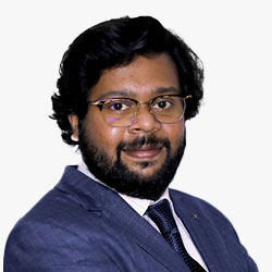
Ruban Jacob
Associate Director - GKI | Geospatial World | India
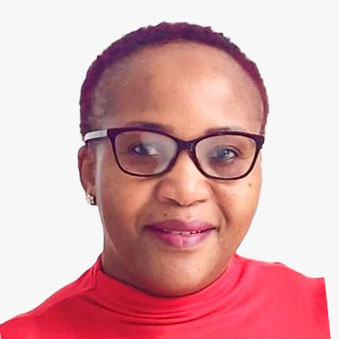

Ms Chauke has over 25 years of experience in the field of Geographic Information Science (GISc) working in various organisations. She holds a Masters Degree in Business Leadership specialising in Information Systems from the University of South Africa and a Bachelor of Science Honours degree from the University of Pretoria specialising in GIS. Ms Chauke is currently the Director: National Spatial Information Framework and her role is to implement the South African Spatial Data Infrastructure. She is also a Secretariat for the Committee for Spatial Information. Ms Chauke is recently appointed as the Chair for the United Nations Global Geospatial Information Management Committee of Experts for Africa and she is also a member of the High-Level Forum on Integrated Geospatial Information Framework representing the African region.
Abstract
Towards identifying fundamental datasets and associated data custodians for the marine and coastal sphere in South Africa - An Integrated Geospatial Information Framework approach
The integration of the marine and coastal spheres into the current established South African Spatial Data Infrastructure (SASDI) has commenced by putting together a team of experts to conduct a study to define criteria for the identification of marine and coastal base datasets and data custodians; prepare a register of the identified marine and coastal base datasets and associated data custodians; propose a list of marine and coastal data themes and assign each base dataset to a data theme; and investigate the best approach to integrate the marine and coastal spheres into the SASDI framework taking into consideration a balanced between the land, marine and coastal spheres. This presentation aims to provide the audience with progress on the integration of the marine and coastal spheres into SASDI. Lessons learned will be shared and can be beneficial to countries that have embarked on a similar journey.
Maroale Martha Chauke
 Maroale Martha Chauke
Director - National Spatial Information Framework , Department of Agriculture, Land Reform and Rural Development , South Africa
Ms Chauke has over 25 years of experience in the field of Geographic Information Science (GISc) working in various organisations. She holds a Masters Degree in Business Leadership specialising in Information Systems from the University of South Africa and a Bachelor of Science Honours degree from the University of Pretoria specialising in GIS. Ms Chauke is currently the Director: National Spatial Information Framework and her role is to implement the South African Spatial Data Infrastructure. She is also a Secretariat for the Committee for Spatial Information. Ms Chauke is recently appointed as the Chair for the United Nations Global Geospatial Information Management Committee of Experts for Africa and she is also a member of the High-Level Forum on Integrated Geospatial Information Framework representing the African region.
Abstract
Towards identifying fundamental datasets and associated data custodians for the marine and coastal sphere in South Africa - An Integrated Geospatial Information Framework approach
The integration of the marine and coastal spheres into the current established South African Spatial Data Infrastructure (SASDI) has commenced by putting together a team of experts to conduct a study to define criteria for the identification of marine and coastal base datasets and data custodians; prepare a register of the identified marine and coastal base datasets and associated data custodians; propose a list of marine and coastal data themes and assign each base dataset to a data theme; and investigate the best approach to integrate the marine and coastal spheres into the SASDI framework taking into consideration a balanced between the land, marine and coastal spheres. This presentation aims to provide the audience with progress on the integration of the marine and coastal spheres into SASDI. Lessons learned will be shared and can be beneficial to countries that have embarked on a similar journey.
Director - National Spatial Information Framework | Department of Agriculture, Land Reform and Rural Development | South Africa
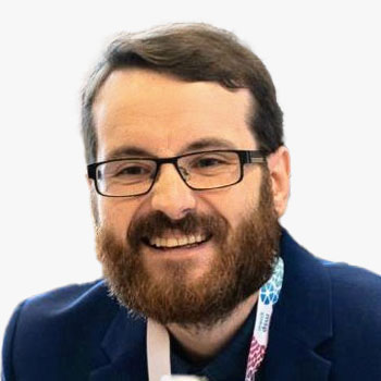

Dean is a postgraduate researcher at the University of Hull examining the complex, dynamic and sympoietic interconnectivities, interdependencies and interrelationships between Societies and Coastal Seas.
Abstract
The Transnational Urbanisation of the North Sea
The spatiotemporal dynamics of anthropogenic activities across a continuum of increasing anthro- and eco-complexity with increasing distance from a highly-localised port node (within a port city) out to the transnational level of an epeiric, semi-enclosed sea basin (i.e. the North Sea) - the Port-City-Region-Coast-Sea (AUNJ)-Sea (ABNJ) Continuum.
Dean Page
 Dean Page
Postgraduate Researcher , University of Hull , UK
Dean is a postgraduate researcher at the University of Hull examining the complex, dynamic and sympoietic interconnectivities, interdependencies and interrelationships between Societies and Coastal Seas.
Abstract
The Transnational Urbanisation of the North Sea
The spatiotemporal dynamics of anthropogenic activities across a continuum of increasing anthro- and eco-complexity with increasing distance from a highly-localised port node (within a port city) out to the transnational level of an epeiric, semi-enclosed sea basin (i.e. the North Sea) - the Port-City-Region-Coast-Sea (AUNJ)-Sea (ABNJ) Continuum.
Postgraduate Researcher | University of Hull | UK
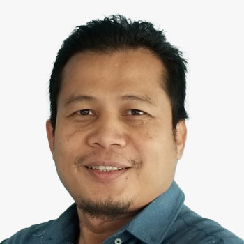

Saiful Nizam has 22 years of working experience and holds a degree in Surveying (Geoinformatics) from the University of Technology Malaysia. His current position is Senior Manager at the Geomatics Section of the Geophysics Solution Department, PETRONAS Carigali Sdn. Bhd. He is a member of the Geomatics Committee of The International Oil and Gas Producers, a member of the National Hydrographic Committee, and a member of the Royal Institution of Malaysia. He also participated as a team member on the Marine Geodesy Task Force of the Geodetic Working Group in Malaysia.
Abstract
Unlock the potential of Healthier Marine Data Collaboration
In the new world of marine operations, where remote and autonomous operations have emerged and are growing rapidly, the sharing of marine data is critical to ensure safe navigation. However, due to some security concerns, data sharing has been deemed risky, even when all legal documentation is in place. Demand for data sharing creates more resistance than opportunities. Creating a safe data sharing environment is important to reduce resistance. This will be more critical if the releasing party holds a sensitive dataset. This paper will discuss and propose a way forward that could potentially eliminate the data sharing resistance, increase data awareness, and create more opportunity to build data savviness among marine users from the perspective of oil and gas in Malaysia.
Saiful Nizam Mustafa
 Saiful Nizam Mustafa
Manager Geomatics , PETRONAS Carigali Sdn Bhd , Malaysia
Saiful Nizam has 22 years of working experience and holds a degree in Surveying (Geoinformatics) from the University of Technology Malaysia. His current position is Senior Manager at the Geomatics Section of the Geophysics Solution Department, PETRONAS Carigali Sdn. Bhd. He is a member of the Geomatics Committee of The International Oil and Gas Producers, a member of the National Hydrographic Committee, and a member of the Royal Institution of Malaysia. He also participated as a team member on the Marine Geodesy Task Force of the Geodetic Working Group in Malaysia.
Abstract
Unlock the potential of Healthier Marine Data Collaboration
In the new world of marine operations, where remote and autonomous operations have emerged and are growing rapidly, the sharing of marine data is critical to ensure safe navigation. However, due to some security concerns, data sharing has been deemed risky, even when all legal documentation is in place. Demand for data sharing creates more resistance than opportunities. Creating a safe data sharing environment is important to reduce resistance. This will be more critical if the releasing party holds a sensitive dataset. This paper will discuss and propose a way forward that could potentially eliminate the data sharing resistance, increase data awareness, and create more opportunity to build data savviness among marine users from the perspective of oil and gas in Malaysia.
Manager Geomatics | PETRONAS Carigali Sdn Bhd | Malaysia
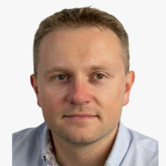
Piotr Zaborowski
Program Manager Innovation Europe | Open Geospatial Consortium | Poland

Eng. Zeyad Ashanqity
Marine Science Specialist | General Authority for Survey and Geospatial Information | Saudi Arabia
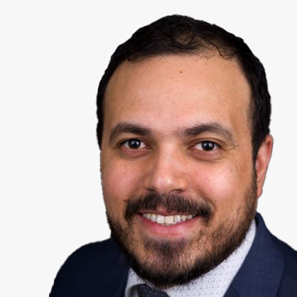

Jean is a public health expert trained in Internal Medicine, Healthcare Quality and Health Equity. He has has a strong understanding of program planning, deployment and evaluation, with 5 years of experience in overseeing regional and national collaborative Quality and Safety as well as Process Improvement initiatives with hospitals and health systems. Jean also has deep expertise in clinical medicine, population health, healthcare systems and quality improvement science, with experience with underserved communities.
Abstract
Mismanagement of our Oceans will lead to a Sea Change in Human Health
Many changes in ocean environments that portend future changes in health risks for all mankind. This talk will share a list of these risk factors (such as growth of algal bloom), explain the risk to human health, and discuss surveillance efforts. Our call to action will be to advocate for additional geospatial analysis and mapping of these risk factors to encourage collective action to mitigate these risks.
Jean Felipe Teotonio
 Jean Felipe Teotonio
Lead Public Health Analyst , HSR.health , USA
Jean is a public health expert trained in Internal Medicine, Healthcare Quality and Health Equity. He has has a strong understanding of program planning, deployment and evaluation, with 5 years of experience in overseeing regional and national collaborative Quality and Safety as well as Process Improvement initiatives with hospitals and health systems. Jean also has deep expertise in clinical medicine, population health, healthcare systems and quality improvement science, with experience with underserved communities.
Abstract
Mismanagement of our Oceans will lead to a Sea Change in Human Health
Many changes in ocean environments that portend future changes in health risks for all mankind. This talk will share a list of these risk factors (such as growth of algal bloom), explain the risk to human health, and discuss surveillance efforts. Our call to action will be to advocate for additional geospatial analysis and mapping of these risk factors to encourage collective action to mitigate these risks.
Lead Public Health Analyst | HSR.health | USA
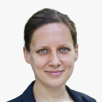

Hannah Brocke is Chief Strategy Officer of planblue, a marine technology startup which has raised 7.7m Euros in public and private investments to date. She co-founded planblue in 2017 after working at the Max Plank Institute for Marine Biology for eight years. Hannah has a PhD from the University of Bremen, is a professional diver and proud ocean advocate.
Abstract
Unlocking blue carbon assessments with hyperspectral seafloor mapping
Compared to our land-based economy, much is still not known about the ecosystem on which the Blue Economy depends. Establishing a sustainable Blue Economy demands we increase our understanding of the seafloor, and regular monitoring of the seafloor's flora and fauna is one of the prerequisites for this. Planblue has operationalised Underwater Hyperspectral Imaging (UHI) for commercial use. UHI is a sensor technology that enables a step-change in underwater observations through the wealth of indicators its raw data can produce. Planblue's first commercial products target blue carbon offset project developers, offering an efficient, enhanced way to monitor the carbon stored in seagrass meadows and their health. The improved accuracy of our seagrass carbon stock estimates, relative to currently used techniques, will increase the qualified carbon credit yield, and thus the income, of any seagrass restoration or preservation carbon project. Moreover, DiveRay enables the creation of new socio-economic opportunities for coastal communities, making our impact truly triple-bottom-line.
Hannah Brocke
 Hannah Brocke
Chief Strategy Officer , Planblue , Germany
Hannah Brocke is Chief Strategy Officer of planblue, a marine technology startup which has raised 7.7m Euros in public and private investments to date. She co-founded planblue in 2017 after working at the Max Plank Institute for Marine Biology for eight years. Hannah has a PhD from the University of Bremen, is a professional diver and proud ocean advocate.
Abstract
Unlocking blue carbon assessments with hyperspectral seafloor mapping
Compared to our land-based economy, much is still not known about the ecosystem on which the Blue Economy depends. Establishing a sustainable Blue Economy demands we increase our understanding of the seafloor, and regular monitoring of the seafloor's flora and fauna is one of the prerequisites for this. Planblue has operationalised Underwater Hyperspectral Imaging (UHI) for commercial use. UHI is a sensor technology that enables a step-change in underwater observations through the wealth of indicators its raw data can produce. Planblue's first commercial products target blue carbon offset project developers, offering an efficient, enhanced way to monitor the carbon stored in seagrass meadows and their health. The improved accuracy of our seagrass carbon stock estimates, relative to currently used techniques, will increase the qualified carbon credit yield, and thus the income, of any seagrass restoration or preservation carbon project. Moreover, DiveRay enables the creation of new socio-economic opportunities for coastal communities, making our impact truly triple-bottom-line.
Chief Strategy Officer | Planblue | Germany
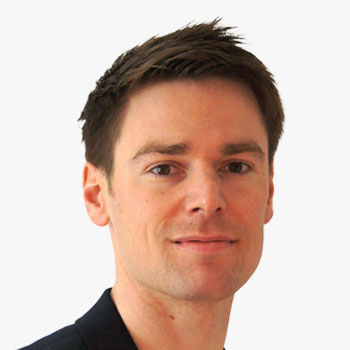

David Monetti is Chief Executive Officer at Skyability GmbH. During studies at TU WIEN he had several close collaborations with young companies and startups. Supporting Skyability from Day 1 makes him responsible for LiDAR since 2017. Nowadays using ULS, MLS or TLS becomes to daily routine in the pursuit to crate the best obtainable digital twin. For more than a year now he is also responsible for implementing LiDAR- Bathymetry at Skyability. His experience gleaned in research activities and committed hands-on work turns him into a renowned expert.
Abstract
UAV LiDAR Mapping for flood protection
UAV LIDAR Mapping stands for a cost/ time efficient and precise method for collecting topographic areal data. Using green light laser technology enables delivering seamless information even under water. This high dense homogeneous information, no need of terrestrial survey, is necessary for accurate hazard zone planning in flood protection. We will outline why the flexibility and the operating parameters of a drone is best suited for this service.
David Monetti
 David Monetti
CEO , Skyability GmbH , Austria
David Monetti is Chief Executive Officer at Skyability GmbH. During studies at TU WIEN he had several close collaborations with young companies and startups. Supporting Skyability from Day 1 makes him responsible for LiDAR since 2017. Nowadays using ULS, MLS or TLS becomes to daily routine in the pursuit to crate the best obtainable digital twin. For more than a year now he is also responsible for implementing LiDAR- Bathymetry at Skyability. His experience gleaned in research activities and committed hands-on work turns him into a renowned expert.
Abstract
UAV LiDAR Mapping for flood protection
UAV LIDAR Mapping stands for a cost/ time efficient and precise method for collecting topographic areal data. Using green light laser technology enables delivering seamless information even under water. This high dense homogeneous information, no need of terrestrial survey, is necessary for accurate hazard zone planning in flood protection. We will outline why the flexibility and the operating parameters of a drone is best suited for this service.
CEO | Skyability GmbH | Austria
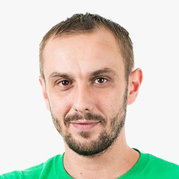

Ivos Gajdorus is an IT entrepreneur, startup enthusiast, and founder of Mapotic, a cloud platform that empowers organizations to leverage geolocation data for creating high-impact, user-friendly web or mobile applications. With a geolocation data processing engine and real-time visualization solutions for changing content such as sensor output, weather, and external data channels, Mapotic has supported numerous environmental, sustainability, and ESG initiatives. The platform also provides technology to wildlife tracking organizations, including the world's largest shark tracking and sea turtle monitoring projects. Ivos and his team remain dedicated to simplifying location data processes and advancing positive impact through technology.
Ivos Gajdorus
 Ivos Gajdorus
Co-founder & CEO , Mapotic , Czech Republic
Ivos Gajdorus is an IT entrepreneur, startup enthusiast, and founder of Mapotic, a cloud platform that empowers organizations to leverage geolocation data for creating high-impact, user-friendly web or mobile applications. With a geolocation data processing engine and real-time visualization solutions for changing content such as sensor output, weather, and external data channels, Mapotic has supported numerous environmental, sustainability, and ESG initiatives. The platform also provides technology to wildlife tracking organizations, including the world's largest shark tracking and sea turtle monitoring projects. Ivos and his team remain dedicated to simplifying location data processes and advancing positive impact through technology.

Ivos Gajdorus is an IT entrepreneur, startup enthusiast, and founder of Mapotic, a cloud platform that empowers organizations to leverage geolocation data for creating high-impact, user-friendly web or mobile applications. With a geolocation data processing engine and real-time visualization solutions for changing content such as sensor output, weather, and external data channels, Mapotic has supported numerous environmental, sustainability, and ESG initiatives. The platform also provides technology to wildlife tracking organizations, including the world's largest shark tracking and sea turtle monitoring projects. Ivos and his team remain dedicated to simplifying location data processes and advancing positive impact through technology.
Co-founder & CEO | Mapotic | Czech Republic
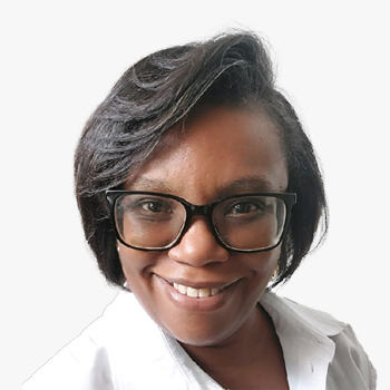
Francesca Adrienne
Project Manager | UNDP | Mauritius