Introductory Note
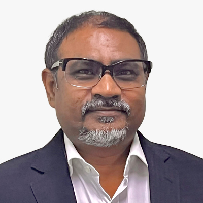
Sanjay Kumar
CEO
Geospatial World
India

Felicitatory Remarks
Gince Kuruvilla Mattam
Deputy Chief of Mission
Embassy of India
The Netherlands

Pacome Revillon
CEO
Novaspace
France
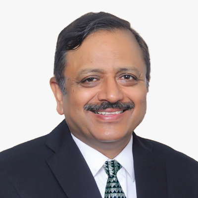
Rajeev Jyoti
Director Technical
IN-SPACe
India
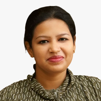
Ananyaa Narain
VP - Consultancy
Geospatial World
India
Currently employed as Vice President - Consulting at Geospatial World, Ananyaa Narain, an economist by education, is a leading thought leader in the socio-economic and market research space for geospatial, BIM, and frontier technologies worldwide. She was recognized as a 40U40 geospatial professional for 2020 by xyHt, and a Geospatial Rising Star 2022 by Geospatial World. Over her eight years of experience in the geospatial technology domain, she is recognized for her result-oriented approach to exploring the impact of the cross-linkage of technology, economics, and policy using varied qualitative and quantitative tools and frameworks. Her professional expertise includes working with cross-sectoral and interdisciplinary stakeholders across technology, academia, and government stakeholders for market size and forecast assessment, socio-economic impact evaluation, developing national policy and governance frameworks, and initiating and contributing to global technology and policy dialogue and debates through research reports and articles, and conference convening.

Bert Klaassens
VP - Europe
Geospatial World
The Netherlands
Session Highlight
- Discuss the integration of new technologies, such as artificial intelligence, machine learning, and aerial/satellite imagery, in mapping services, and explore collaboration with the private sector to provide these services.
- Present successful case studies of existing cross-border collaborations between different national agencies and the private sector to illustrate potential benefits and common pitfalls.
- Identify opportunities for joint ventures that leverage the unique strengths of each organization.
- Address the need for harmonizing geospatial information standards to ensure compatibility and interoperability.
- Explore various funding models that can support collaborative projects, including public-private partnerships when such collaborations are explored.
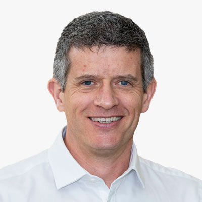
David Henderson
Chief Geospatial Officer
Ordnance Survey
UK
David leads the strategy and roadmap to reinforce and extend Ordnance Survey's position, reputation and contribution as a leader in the national and international geospatial industry.
David joined OS in 2003 and has 25 years of geospatial industry experience across a variety of technical and leadership roles. He has been part of the OS Executive Team since 2015 where he has led both product strategy and customer facing teams.
He leads the UK's delegation to the UN's Committee of Experts on Global Geographic Information Management (UNGGIM) and is a Vice-Chair of the UNGGIM Europe Regional Group. David is a former Chair of the UK's Association for Geographic Information (2015 and 2016), member of the Management Board of Eurogeographics (from 2017) and from 2016-19 was the industry external examiner for the GeoSciences School at Edinburgh University.
In 2019 David was awarded an Honorary Fellowship from the Royal Scottish Geographical Society.

Rob Agelink
Director of Data, Governance & Innovation
Kadaster
The Netherlands

Rudy Cambier
Chief of Innovation and Industrials Partnerships Department (France and International)
IGN France
France
Ramesh Ananthakrishnan
CEO
DSM Soft
India
Anup Jindal
CEO
RMSI
India
Session Highlight
- Recent technological advancements in both regions that could benefit collaborative efforts, such as developments in remote sensing, UAV technology, and big data analytics.
- Explore how both regions can benefit from sharing geospatial data and resources.
- Discuss opportunities for companies to expand their market presence across regions, addressing both challenges and strategies for successful market entry.
- Identify specific opportunities for joint ventures in areas like urban planning, agriculture, disaster management, and climate change monitoring.
- Present case studies where Indian and European entities working in different regions has led to successful geospatial projects, emphasizing the methodologies and outcomes of these partnerships.

Robert Hoddenbach
Global Director, Climate & Nature Markets
Fugro
The Netherlands
Agendra Kumar
Managing Director
Esri India
India
An industry veteran with over three decades of experience in the IT industry, Agendra has been promoting the use of geospatial technologies in the country. Under his leadership, Esri India has partnered with numerous government and private organizations to execute critical and transformative projects using Esri's GIS (Geographic Information System) technology.
Before joining Esri India, Agendra held leadership positions at Silicon Graphics, Veritas Software, and Symantec.
He has also made significant contributions to the geospatial industry as President, Association of Geospatial Industries (AGI), and Chairman, FICCI Committee on Geospatial Technologies.
Agendra holds M.Sc. (Hons.) in Mathematics and Master of Management Studies (MMS) degrees from BITS, Pilani.
Saurabh Rai
CEO
Arahas Technologies
India
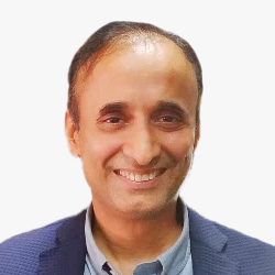
Rajeev Saraf
CEO
Lepton Software
India

Adina Gillespie
VP-Strategic Initiatives - Geospatial Content
Hexagon
USA
Adina Gillespie is responsible for key strategic initiatives of the Geospatial Content Solutions business unit within Hexagon's Geosystems division. Her priority is establishing collaborative programs and partnerships for delivering large-scale geospatial initiatives. She has nearly 20 years of experience in the space sector, where she delivered innovative programs and strategic advice in the application of small satellite technology, including for governments and commercial users. Adina is a Fellow of the UK Royal Aeronautical Society, has served on various government and corporate committees and is a board member of the World Geospatial Industry Council (WGIC).
Session Highlight
This session will delve into the collaborative potential for developing robust space infrastructure and exploring innovative downstream applications. As India and Europe continue to advance their space technologies, this platform will facilitate discussions on shared projects, technology transfer, and co-development of satellite systems, with a strong focus on enhancing the practical applications of space data in various sectors such as telecommunications, earth observation, and navigation. Key topics of discussion include -
- Explore opportunities for joint space missions, focusing on satellite development, launches, and management.
- Discuss frameworks for technology sharing and co-development, aimed at enhancing the capabilities of both Indian and European space sectors.
- Identify gaps in current infrastructure and propose collaborative projects to fill these gaps, enhancing overall capabilities.
- Examine successful downstream applications of space technologies, such as disaster management, urban planning, and agriculture.
- Discuss new potential applications and markets for space-based data, including climate monitoring and security.
- Explore potential business models and commercial ventures that could be developed through Indo-European cooperation.

Sean Wiid
CEO
UP42
Germany
Sean Wiid is the CEO of UP42. Sean is a surveyor and computer scientist with over 20 years of experience solving real-world problems with geospatial data across multiple industries and countries. His current focus at UP42 is to build a platform that helps the earth observation industry reach its full downstream socio-economic potential by removing commercial and technical barriers to leveraging geospatial data at scale.
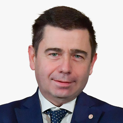
Massimo Claudio Comparini
Deputy CEO & ESVP
Thales Alenia Space
Italy
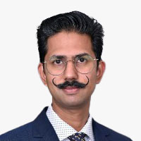
Sethu Saveda Suvanam
Founder & CEO
ReOrbit
Finland
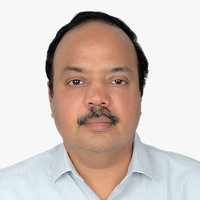
Sreeramam GV
CEO
NeoGeoinfo Technologies
India

Krishanu Acharya
Co-founder & CEO
Suhora
India
As the leader of a visionary team at Suhora, he has successfully delivered innovative products and services for asset monitoring and management across diverse domains, utilizing space technology, Al, big data, and open-source tools to create sustainable solutions worldwide.
* With prior international roles focused on developing earth observation businesses in Southeast and South Asian countries, he has demonstrated expertise in business development, client management, and revenue growth.
* Holding a DBA in Oracle, PI/SQL, and Linux from SQL Star International and an M.Sc in Remote Sensing & GIS from Vidyasagar University, he is a meticulous technical professional with a strong passion for technology, leveraging his expertise to empower customers and partners with location intelligence and data analytics.
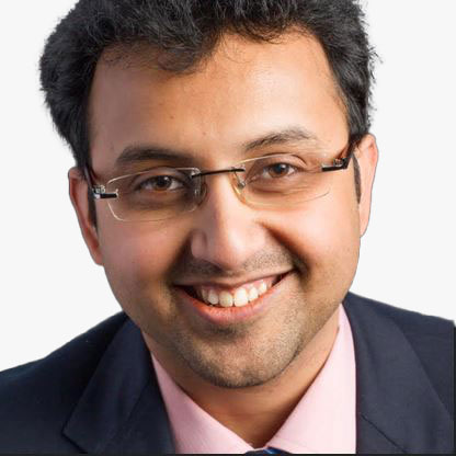
Prateep Basu
Co-Founder & CEO
SatSure Ltd
India
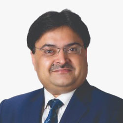
CA. Ranjeet Kumar Agarwal
President
ICAI
(Virtually)
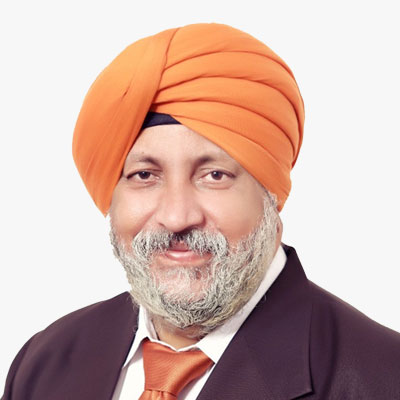
CA. Charanjot Singh Nanda
Vice President
ICAI
(Virtually)
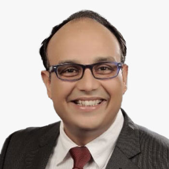
Vikas S. Chaturvedi
Founder Chairman
ICAI
The Netherlands

Sanjay Kumar
CEO
Geospatial World
India

