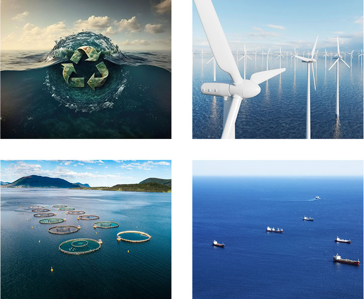
Session Highlight
- What is blue economy, and how can it unlock ocean as the next great economic frontier?
- Opportunities for innovation, economic growth, and employment in the blue economy.
- Contribution of blue economy to sustainable development.
- Stakeholder ecosystem of the blue economy and demand for ocean knowledge.
- Future of hydrography and oceanography to meet evolving demands of blue economy stakeholders.
Moderator
Denis Hains
President & CEO
H2i
Canada
Denis Hains is the founder, President & CEO of H2i. He is the former Director General of the Canadian Hydrographic Service, and Hydrographer General of Canada. Currently, he is the Community Co-Lead of the Global Hydrospatial Movement Club. He also contributes actively in a "Pro Bono" manner as Member of the Strategic Advisory Group of The Nippon Foundation-GEBCO Seabed 2030 Project, President, Board of Directors CIDCO, Special Senior Advisor Canadian Ocean Mapping Research & Education Network, etc.
Keynote
John Nyberg
Director
IHO
Monaco
Claire Jolly
Head of Unit - STI Ocean Economy Group, Directorate for Science, Technology and Innovation
OECD
France
Claire Jolly is Head of the OECD Space Forum, in the Organisation for Economic Co-operation and Development (OECD)'s Directorate for Science, Technology and Industry. She has eighteen years of experience in policy and economic analysis, having worked for both public and private organisations in aerospace and defence in Europe and North America, before joining the OECD in 2003. Her background is in international relations / finance (MA. Versailles and Cornell University) and aerospace engineering (ENSTA), with an interest in technology transfers and space applications (MSc, ISU). She is also an alumna of the Institute for Higher National Defence Studies in Paris (Institut des Hautes Etudes de Defense Nationale, IHEDN). The Space Forum was established by OECD to assist governments, space-related administrations and the private sector to better identify the statistical contours of the space sector, while investigating the space infrastructure's economic significance, innovation role and potential impacts for the larger economy (e.g. publication: "The Space Economy at a Glance"). In 2015, the Space Forum's Steering Group includes ten members, nine national space agencies / official bodies in charge of space activities from OECD economies (NASA, CNES, DLR, ASI, KARI, UKSA) and the European Space Agency.
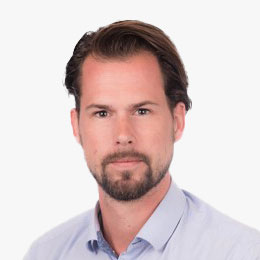
Robert Hoddenbach
Global Director, Climate & Nature Markets
Fugro
The Netherlands
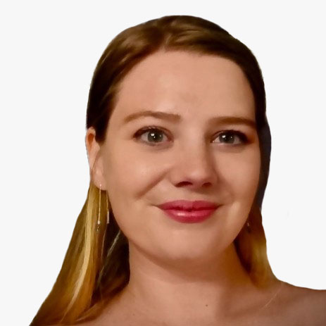
Lisa Simone de Grunt
Director of Programmes
World Ocean Council
USA
Tina Silovic
Market Development Officer
Mercator Ocean International
France
Session Highlight
- National-level strategies, blueprints, action plans, and initiatives for blue economy development - best practices.
- Global frameworks for ocean knowledge and hydrospatial information to support blue economy.
- Integration of ocean knowledge and hydrospatial information in blue economy strategies and frameworks.
- Blue economy frameworks and strategies spurring innovation and growth of industry to meet rising demand for ocean knowledge.
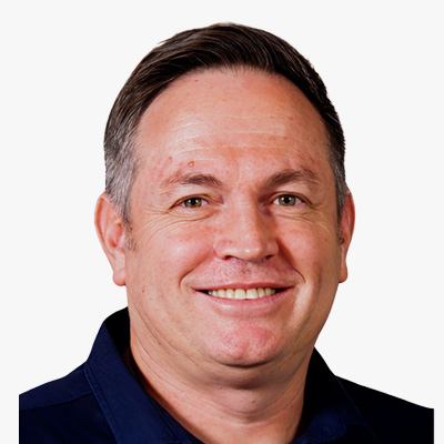
Moderator
Clinton Heimann
Deputy Director General Spatial Planning and Land Use Management
National Department of Agriculture Land Reform and Rural Development
South Africa
Clinton Heimann is the Deputy Director-General of Spatial Planning and Land Use Management at South Africa's National Department of Agriculture, Land Reform, and Rural Development. His role centres on strategic oversight for implementing key legislative frameworks, including the Spatial Planning and Land Use Management Act, the Planning Professions Act, and the Spatial Data Infrastructure Act, crucial for policy development and modernizing South Africa's geospatial frameworks. He also leads the South African delegation to the UN-GGIM and UN-GGIM Africa.
In the past three years, Heimann has driven initiatives to upgrade the country's geospatial infrastructure, fostering collaborative governance and strategic partnerships. His work ensures the alignment of South Africa's National Geospatial Strategies with the Integrated Geospatial Information Framework (IGIF), aiming to bring socio-economic benefits across the region and enhance South Africa's contribution to the Sustainable Development Goals (SDGs) and Africa Agenda 2063.
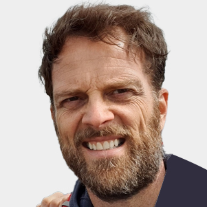
Evert Flier
International Coordinator
Norwegian Mapping Authority
Norway

TNC Karthik
Scientist
INCOIS
India
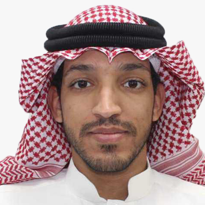
Eng. Zeyad Ashanqity
Manager of Installing Tide Gauge Stations
GEOSA
Saudi Arabia
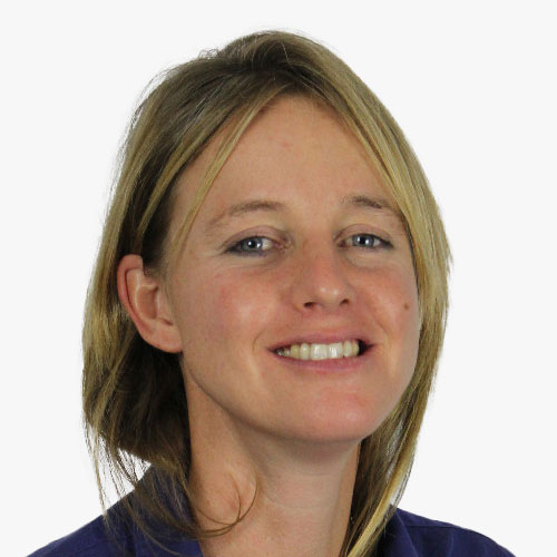
Katherine Cooke
Senior Technical Policy and Sustainability Consultant
Oxford Policy Management
UK
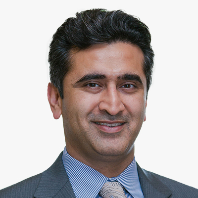
Amar Nayegandhi, CP, CMS, GISP
SVP
Dewberry
USA
As Senior Vice President, Amar Nayegandhi, CP, CMS, GISP leads the Geospatial and Technology Services group at Dewberry and provides program oversight for the execution of all remote sensing projects nationwide. An expert in topographic and topobathymetric lidar data acquisition and processing, Amar was the Director of the American Society for Photogrammetry and Remote Sensing (ASPRS) Lidar Division and was appointed as an ASPRS Fellow in 2024. He co-edited the ASPRS DEM User's Manual, 3rd Edition, and authored the chapters on Airborne Topographic Lidar and Airborne Lidar Bathymetry. Amar co-authored the USACE EM 1110-1-1000 Manual on Photogrammetric and Lidar Mapping.
Amar has presented his research and technological findings at 100+ international conferences and technical workshops, including an invitation from the USGS to present the industry perspective for the USGS 3D Elevation Program at the United Nations World Geospatial Information Congress (UNWGIC) in Deqing, China. Amar has authored 16 manuscripts in various international journals and 65+ data series and reports for the USGS. He has a Bachelor's in Electrical Engineering from the University of Mumbai and a Master's in Computer Science from the University of South Florida. He is an ASPRS Certified Photogrammetrist and Certified Mapping Scientist, and a GIS Professional.
Session Highlight
- Enhancing interoperability of hydrospatial datasets.
- Integration of marine and terrestrial geospatial infrastructures.
- Unlocking private sector ocean data - data sharing and integration opportunities.
- Integration of hydrospatial information with wider digital information ecosystems.
- Business and collaboration models for integrated ocean knowledge solutions.

Moderator
David Vincentelli
President
IFHS
France
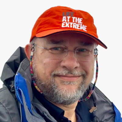
Steve Hall
Head of Partnerships
Seabed 2030
UK
Steve Hall is an independent consultant working in the ocean science, technology, defence and policy fields. He is Chartered Marine Scientist & Fellow of the Institute of Marine Engineering, Science & Technology, a Fellow of the Society for Underwater Technology, and an elected Member of the Board of the Marine Technology Society. Steve has over three decades experience including being elected as vice-chair of the Intergovernmental Oceanographic Commission of UNESCO 2015-17 and helping develop the concept that led to the UN Decade of Ocean Science for Sustainable Development.
He worked 27 years for the UK Natural Environment Research Council mainly at the National Oceanography Centre, where his roles included seagoing tracer chemistry analysis, managing early Autosub AUV science missions, enhancing tsunami warning systems, leading the international office, and writing policy responses, position papers & drafting minister's responses on a wide range of ocean subjects from fisheries & marine spatial planning to nuclear submarine decommissioning and new marine legislation. Steve left the public sector in 2017 to become CEO of the Society for Underwater Technology, and later CEO at Pembrokeshire Coastal Forum & Marine Energy Wales, before moving into freelance consultancy. His main client is the Nippon Foundation-GEBCO Seabed 2030 project where he leads on partnerships with industry, and he also works on UN Ocean Decade-related projects, advice to industry clients, and pro-bono support for ocean Learned Societies, Charities and Professional Bodies.
Steve is also a podcaster, having established SUT's Underwater Technology Podcast and latterly the Seabed 2030 Podcast; and is a licensed drone operator providing video & stills footage for clients in the archaeological and environmental imaging sector.
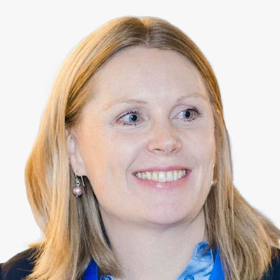
Kate Larkin
Head of EMODnet Secretariat
EMODnet
Belgium
With 15 years of expertise in marine science, Dr. Kate Larkin is a seasoned professional at the science-policy interface, specializing in marine data for evidence-based policy, Blue Economy operations, and conservation. Starting at the NOC, U.K., she earned her Ph.D. in deep-sea biogeochemistry and managed the EuroSITES open ocean observatories project. Later, as the Head of EMODnet Secretariat, Kate leads Seascape Belgium bvba's Marine Knowledge. Passionate about ocean literacy, she communicates complex issues through data and storytelling. In 2022, she contributed to citizen science in the Norwegian Arctic, showcasing her commitment to marine awareness and sustainability.
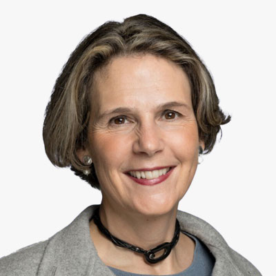
Laurence Janssens
COO
Hub Ocean
Belgium
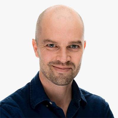
Christian Thellufsen
Senior Consultant
Danish Geodata Agency
Denmark


