Moderator
Albert H. Anoubon Momo
Co-founder and CEO
GeoDEV International
USA
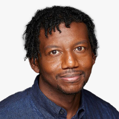
Clinton G. Johnson
Racial Equity and Social Justice
Esri
USA
Session Highlight
This is observed and practised unknowingly or unrealisingly at various level:
- Workplaces: Hiring and Retention
- Educational Institutes
- Society as a whole

Moderator
Clinton G. Johnson
Racial Equity and Social Justice
Esri
USA

Feye Andal
Geospatial Analyst/Project Manager
YouthMappers Regional Ambassador
Philippines
Feye is dedicated to enhancing government and youth capacity in disaster risk reduction and management through GIS. Since 2013, she has championed FOSS4G tools like OpenStreetMap and QGIS, reaching over 2,000 participants across ages and sectors through training workshops. As one of the first GIS women in the Philippines promoting open mapping, Feye has established 12 YouthMappers chapters in Asia. She develops geospatial tools crucial for local governments in preparing and responding to hazardous events at the National Operational Assessment of Hazards (NOAH) Center.
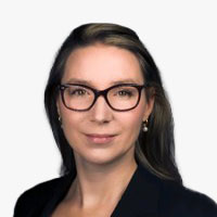
Maaike Verbeek
Adviseur Environment Social Governance
Kadaster
The Netherlands
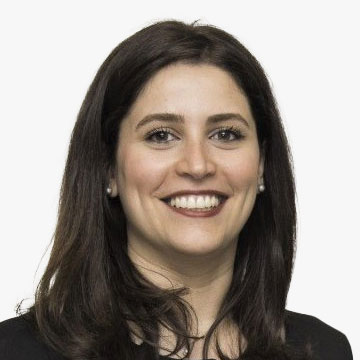
Elnaz Neinavaz
Assistant professor
ITC, University of Twente
The Netherlands
Dr. Elnaz Neinavaz is an assistant professor at ITC/University of Twente. She has a background in thermal infrared remote sensing, focusing on biodiversity. She possesses practical expertise in using laboratory and field instruments for measuring vegetation biophysical and biochemical variables and investigating alterations in land surface temperature as a proxy for climate change-related extreme events affecting biodiversity and forest ecosystems.
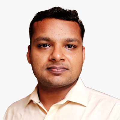
Salil Goel
PhD, Assistant Professor
Department of Civil Engineering (Geoinformatics), Department of Aerospace Engineering (Adjunct), IIT Kanpur
India
Session Highlight
Recognising women's unique challenges in balancing career and family responsibilities, organisations can implement flexible work policies that accommodate diverse needs. Providing options such as remote work, flexible hours, and parental leave supports women and creates a more inclusive work environment for all employees.
Mentorship and sponsorship programs can be crucial in nurturing the next generation of women leaders. Organisations can inspire others to pursue leadership roles and shatter glass ceilings by showcasing successful women as role models.
Access to quality education and skill development is a cornerstone of women's empowerment. Organisations can play a role by providing learning and development opportunities that empower women to acquire new skills and stay competitive in an ever-evolving job market.
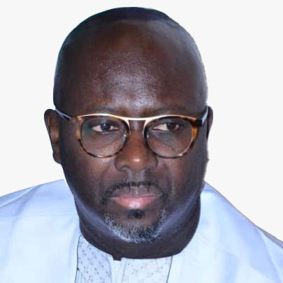
Moderator
Ibrahima Cisse
Regional Director
Humanitarian OpenStreetMaps Team (HOT)- West Africa
Senegal
Dr Ibrahima Cisse is the Regional Director of HOT for the Open Mapping Hub in West and North Africa. He leads the team in the promotion, support and scaling up of Open Mapping work in 25 priority countries in the region. He has a wealth of experience and leadership in campaigning, research, engagement, communications and knowledge of the economic, political and socio-cultural context of the region. He is spreading the use of OSM tools throughout the region as a decision-making tool for better management of community and stakeholder issues.

Lyndsey Hofmann
M.S., Education & Professional Development Coordinator
USGIF
USA
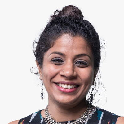
Gopika Suresh
Chief Strategy Officer (CSO) and Co-Founder, Head of Products and Strategy
Marble Imaging
Germany
Dr. Gopika Suresh is an Earth Observation (EO) & Synthetic Aperture Radar (SAR) scientist with more than 14 years of experience developing algorithms and methods to exploit EO data for land, forest, marine, coastal and disaster response applications. Having discovered the gaps in present EO data & solutions, she co-founded Marble Imaging, which aims at becoming Europe's first provider of VHR data acquired from its small satellite constellation and is CSO and head of products where her Team develops cutting edge EO based analytics & solutions for real-world challenges.
Born in a coastal town in the south of India, she has a Bachelor of Technology in Electronics and Communications Engineering from the University of Kerala, India, a MSc in Satellite Applications engineering from the Technical University of Munich, Germany and a PhD in marine Geosciences from the University of Bremen. For her PhD, she developed the first automatic SAR based system to detect marine oil slicks in SAR images and estimate their source hydrocarbon seeps. Since then she has worked as a scientist for the German Federal Agency for Cartography and Geodesy, as a postgrad lecturer at the Frankfurt University of Applied Sciences, a postdoc at the Earth Observatory of Singapore and recently led the team for geospatial solutions at Unique Land use GmbH, where her team developed EO based solution for the forestry and land use sector She was selected as a Geospatial World's 50 rising stars in 2021, a leading woman in ML4EO by the Radiant foundation in 2021 and is the co-organiser of the Sisters of SAR initiative. And she does all this while bringing up a 3 year old toddler and her newborn 2024 baby.
Hannah Brocke
CSO
PlanBlue
Germany
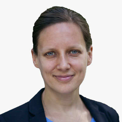
Hannah Brocke is co-founder and COO of the company planblue, which develops underwater satellites to build up a global seafloor database at high detail. Why the seafloor It plays a key role in tackling the main issues we face today: climate change, biodiversity loss and plastic waste pollution. Planblue combines AI with advanced imaging (incl. hyperspectral) and underwater navigation. Via its seafloor database, planblue enables the sustainable use and conservation of our oceans resources.
