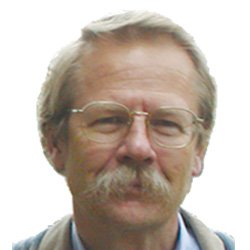
Speakers Bio & Abstract

Between The Poles
Canada
BiographyGeoff tracks the contribution of geospatial technology to the digitization of construction, operation and maintenance of energy and building infrastructure. Geoff was responsible for thought leadership, evangelization, and industry messaging for the utility industry program at Autodesk. In recognition of his efforts to increase the awareness of geospatial data and technologies in utilities and construction, Geoff received the Geospatial Ambassador Award at Geospatial World Forum 2014 in Geneva, Switzerland. He actively supports open standards and is a director of the Open Geospatial Consortium.Abstract Mapping national underground infrastructure: The last frontier of remote sensingNational mapping agencies were responsible for topographic, geologic, and other above ground mapping until commercial mapping and satellite-based remote imaging began to erode the government monopoly on precision national mapping. The next frontier in remote sensing technology is mapping below ground including geology and utility and transportation infrastructure. The economic argument for the benefits of accurate 3D maps of underground infrastructure are well-founded. Underground utility strikes are not only expensive, but are also dangerous to workers and to the public. Information about underground infrastructure is rarely shared. Utility hits cost the U.S. economy an estimates $1.5 trillion in direct costs annually and many times that in indirect costs. Unexpected utility hits routinely cost construction projects delays and budget overruns. Strangely few national mapping agencies have attempted to address this problem. But there are signs that mapping underground infrastructure is gaining increasing attention. The national mapping agency in France IGN has embarked on a ten year multi-billion euro national program to map all underground infrastructure. The latest remote sensing technologies for geolocating underground infrastructure is making it easier to map underground infrastructure and the development of standards for sharing underground infrastructure location information has been initiated by the OGC.