Speakers Bio & Abstract

|
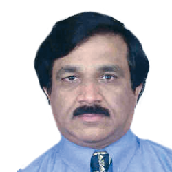
SHANKAR NELAMANGLA
Senior Director Government Programs DigitalGlobe India BiographyN.S. Shankaranarayana (Shankar) is DigitalGlobe Senior Director, Government Programs. Working with Digital India Land Record Projects, E-Governance and Watershed Programs. Shankar has more than 30 years experience in International Satellite Remote Sensing/3-D GIS/ Visual Information Technology solutions business. As Director, IRS Program at Space Imaging/ Lockheed Martin, USA has established more than 20 ground stations from IRS-satellites data distribution network along with IKONOS satellite program. He was working as Vice President, International Programs at The Sanborn Map Company, took lead role in 3-D GIS mapping programs in DSSDI Delhi and Middle East. |