|
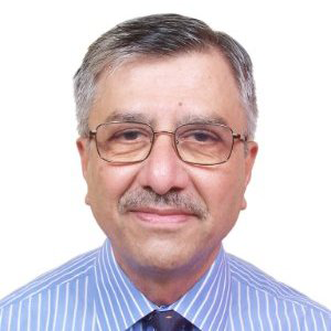
Dr. M. K. Munshi
Chair
Open Geospatial Consortium (OGC) India Forum
BiographyA Civil Engineering Graduate of Calcutta University , Post-Graduate Diploma in Aerial Photography, ITC The Netherlands, PhD,IIT Delhi. He is an ex-Officer of The Corps of Engineers, Indian Army and Survey of India.
His involvement in Cadastral mapping /surveys in India goes back to 1968.In 1970-71, he was involved in a pilot , cadastral mapping project in Goa, under the Centre for Survey Training and Map Production ,a UNDP project. Between 1974-84, while responsible for all mapping aerial photography flown in the country, involved in the use of large scale , rectified aerial photography , for cadastral mapping In the country.
As the Chair, OGC India Forum, he has been leading the OGC interactions with the Department of Land Resources(DoLR), Government of India, Ministry of Rural Development, the key agency responsible for implementing the , Digital India Land Records Modernization Program (DILRMP) in the country. During IGF-12 , as Adviser to Geospatial Media and Communications, he organized a Symposium on : ’Role of Geospatial Technology in Effective Land Administration’ . This was very well received by DoLR and all participants.
Abstract Cadastral Survey/Resurvey in India-Challenges/Solutions The task of ‘Survey/Resurvey’ of land holdings/ parcels , under the Digital India Land Records Modernization Program(DILRMP), poses a major challenge . This is understandable, considering that by and large , the parcel boundaries are not physically demarcated on the ground.
The presentation provides a historical overview of Cadastral Surveys in India, with case studies of projects undertaken in the Survey of India between 1970 and 1984 It provides the takeaways from the Symposium on : ‘Towards Effective Land Administration in India: Potential Benefits, Road Map & Challenges’ - organized by Geospatial Media and Communications at the IGF-2012 in Gurgaon, on the request of DoLR.
It advocates the use of ‘photo maps’ based on high resolution satellite data for overcoming the challenges of Survey/Re-survey under the DILRMP.
It introduces the Open Geospatial Consortium (OGC), a not for profit, Open Standards Organization(OGC) and the work underway under the Land Administration Domain Working Group (DWG) of OGC.
It highlights the importance of Indian participation in the DWG, essential for the formulation for the much needed standards in the area of Land Administration in India
|
