Workshop by EARSC
Purpose of the workshop including specific learning objectives
- Presentation of the CEVS study & its 3 cases (Baltic navigation, Forestry, Infrastructure)
- Exploring the ways of maximising the exploitation of the value of EO data.
Target workshop audience
Policy makers, economists, industry
Workshop duration
3 hours
Detailed description of workshop
In the frame of the study "Assessing the detailed economic benefits derived from Copernicus Earth Observation data within selected value chains", undertaken by EARSC under an assignment from ESA, we provide a bottom up assessment of economic value coming from the use of satellite data. The key difference from previous analyses is to work through the full value chain where the benefits of using EO data can be felt. The level of economic benefit from one service can be very high and touch the everyday lives of all of us. This workshop is organised with ESA support
Workshop Agenda
| 09:00-09:10 | Welcoming remarks |
| 09:10-09:30 | The socio-economic benefits of Copernicus, Thibaud Delourme, DG-GROW |
| 09:30-09:50 | Presentation of the Copernicus economic value study, Alessandra Tassa, ESA |
| 09:50-10:10 | Introduction on the CEVS methodology, Geoff Sawyer, EARSC/ Marc de Vries, The GreenLand |
| 10:10-10:45 | Winter navigation in Finland, Jarkko Toivola, FTA / Geoff Sawyer, EARSC |
| 10:45-11:30 | Networking Tea/Coffee Break |
| 11:30-12:05 | Forest management in Sweden, Erik Willen, FRI / Marc de Vries, The GreenLand |
| 12:05-12:40 | Infrastructure monitoring in NL, Ivo Visser, Stedin / Jos Maccabiani, SkyGeo / Marc de Vries, The GreenLand |
| 12:40-12:50 | Conclusions |
| 12:50-13:00 | Global discussion |
| 13:00-14:00 | Networking Lunch |
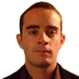
Thibaud Delourme joined the European Commission in 2013, where he worked in the Chief Economist unit of DG GROW. He is now team leader for user and market uptake in the unit on Space Data for Societal Challenges and Growth. His team develops initiatives to facilitate access to Copernicus data, to support start-ups in the downstream sector and to increase awareness of the benefits of space applications. He is also providing economic expertise to the Copernicus programme.
Thibaud Delourme holds a Masters in Economics from the University of Oxford.
Presentation on: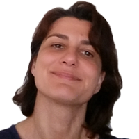
Alessandra holds a PhD as remote sensing engineer from the University of Rome "La Sapienza". Since 2011, she works in the Copernicus Office of the European Space Agency, mainly focusing on Sentinels data applications and user uptake. She has almost 15 years experience in satellite Earth Observation data exploitation and in ground segment development. Previously, she has been doing research on quantitative estimation of precipitation using microwave sensors at the Italian National Council for Research.
Presentation on: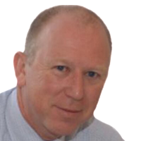
Geoff is Secretary General of EARSC having held senior management positions in the space industry and numerous representative positions in the UK and Europe. Geoff was the radar systems engineer responsible for the ERS-1 synthetic aperture radar and after many steps was, until 2011, EADS Vice President Corporate Strategist for Space. In addition to his extensive industrial experience, Geoff spent three years working for the European Commission where he was responsible for supporting the creation of the GMES initiative (now Copernicus).
Presentation on: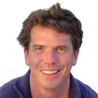
Marc has professional degrees in both law and economics (Utrecht 1991). He has been active in the field of Open Data re-use for more than 18 years, both at the national and European levels. Through his company The Green Land he serves clients in the public and private sectors in the Netherlands and beyond (EC institutions in particular). He is a frequent speaker and moderator on Open Data conferences and events. Also he has published various books and articles on PSI, highlighting the legal, economic and policy perspectives.
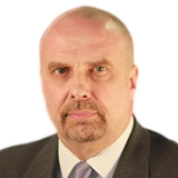
Captain Jarkko Toivola, born 1959 is presently holding the post of Chief Maritime Specialist and Head of Winter Navigation unit in the Finnish Transport Agency. This is the authority responsible for arranging and operating icebreaking and winter navigation for Finnish ports.
Capt. Toivola has gained his theoretical knowledge from the Åbo Svenska Sjöfartsläroanstalt and he has served in leading positions in domestic and international maritime and ship-building projects including management of major oil terminals in the Northern Baltic. At present he is in charge of the project of building new DF (Diesel/LNG) icebreaker for Finland.
Capt. Toivola has sailed on all size vessels year around in the Baltic and international trade, and sailed as a master since 1992 until 2009.
He has also worked worldwide as a trials and training master for azimuth thrust vessels. These duties range from small tugs and ferries up to Finnish multipurpose ice-breakers and equally size OSV vessels at Sakhalin Arctic Offshore, where he also conducted operational side of major ice-management operations.
Presentation on: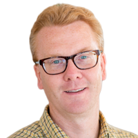
Erik Willén (M) Project Manager (MSc Forestry), research scientist at the Swedish forest research institute, Skogforsk. Employed since 2014. Expert in operational forest remote sensing. Previously Department Manager of Earth Observation consultant company (Metria AB, Sweden). Significant experience from FP projects in the Space theme (geoland, geoland-2, SAFER) as well as project management from several ESA-projects. Team leader for GMES Initial Operations Land monitoring including pan-European mapping of forest and soil sealing for European Environment Agency. Current research include forest estimates based on lidar in wood product recovery as well as EO data for mapping of environmental considerations in forestry.
Presentation on: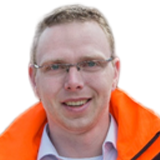
Ivo Visser joined Stedin in 2013 as a Geoconsultant after being a technical consultant at Esri Nederland. Since 2014 Ivo Visser is a risk analyst within the Asset management department with a focus on Gas. A team of risk analysts at Stedin focuses on identifying risks in the utility network through (geographical) analyses.
Ivo Visser has a master degree in Geographical Information Management and Applications and a bachelor degree in Environmental and Infrastructure Planning.
Presentation on: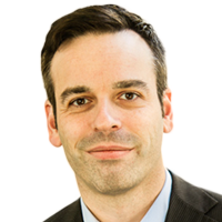
SkyGeo is a provider of operational, satellite-based deformation monitoring services to the international Oil, Gas, Civil and Infrastructure markets.
Since 2013, Mr. Jos Maccabiani is SkyGeo's Director of Professional Services. In this role, he is responsible for all quality control and project management activities as well as developing information solutions tailored to the specific needs of clients in the different market segments.
Before working at SkyGeo, Mr. Maccabiani was the head for Dike Safety activities at Deltares and the Program Manager for "Flood Control 2015". In both positions, he was responsible for developing and managing applied R & D programs that have led to new software and new information products being implemented in daily operations of water managers in the Netherlands. Mr. Maccabiani obtained an M.Sc. in Engineering Geology from Delft University of Technology in 2001.
Presentation on:SkyGeo - Measuring Deformation Dynamics using Remote Sensing