Open Data
Thursday, 28 May 2015, 0900-1230 hrs
Highlights
- Open data in earth observation sector
- Creation of next generation open data and value outreach
- Sharing of non-open data from private users’ point of view

Speakers
0900 - 1030 hrs
0900 - 1030 hrs
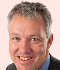
Peter ter Haar
Director of Products
Ordnance Survey
United Kingdom Simply Removing the Price-Tag Doesn't Create Useful Open Data!!
Ordnance Survey
United Kingdom Simply Removing the Price-Tag Doesn't Create Useful Open Data!!

Jan Pierce
Deputy Chief Executive Location Information
Land Information New Zealand
New Zealand Truly open data at Land Information New Zealand
Land Information New Zealand
New Zealand Truly open data at Land Information New Zealand

Arnold Bregt
Professor
Wageningen University
Netherland Open Dutch Topographic Basemap: What are the Effects?
Wageningen University
Netherland Open Dutch Topographic Basemap: What are the Effects?
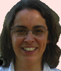
Manuela Vasconcelos
Engineer
Directorate General for Territorial Development
Portugal iGEO: An Internet Portal to Access Open Spatial Data in Portugal
Directorate General for Territorial Development
Portugal iGEO: An Internet Portal to Access Open Spatial Data in Portugal
1100 - 1230 hrs
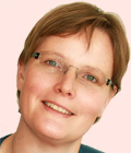
Tina Svan Colding
Data Distribution and Property
Danish Geodata Agency
Denmark Quality, Quantity and Equity - The Changing Landscape in the Usage of Basic Data in Relation to Real Property in Denmark
Danish Geodata Agency
Denmark Quality, Quantity and Equity - The Changing Landscape in the Usage of Basic Data in Relation to Real Property in Denmark

Kewal Shienmar
Managing Director
Stichting Mapcode Foundation
Netherlands Mapcode - A Short Address for Any Location on Earth
Stichting Mapcode Foundation
Netherlands Mapcode - A Short Address for Any Location on Earth

Lorenzo Bigagli
Earth and Space Science Informatics Laboratory
Institute of Atmospheric Pollution Research
Italy Open Access to Research Data - Perspectives from the RECODE Project
Institute of Atmospheric Pollution Research
Italy Open Access to Research Data - Perspectives from the RECODE Project
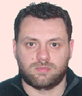
Thodoris Vakkas
Head of Geoinformatics Department
Geospatial Enabling Technologies (GET)
Greece PublicaMundi, an FP7 Project Aiming to Make Open Geospatial Data Easier to Publish, View, and Reuse
Geospatial Enabling Technologies (GET)
Greece PublicaMundi, an FP7 Project Aiming to Make Open Geospatial Data Easier to Publish, View, and Reuse

