INDO-US GEOSPATIAL EXCHANGE FORUM

Building Technical, Business and Educational Capacities in the Geospatial Industry in India and the United States (By Invitation Only)

Keynote Speakers

Opening Session23 Jan 2017 1245 - 1335 hrs
Lt Gen AKS Chandele (Retd), President, Defence, Security and Public Safety, Geospatial Media and Communications, India
Lt Gen AKS Chandele (Retd) President, Defence, Security and Public Safety
Geospatial Media and Communications
India
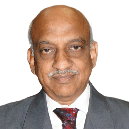
A.S. KIRAN KUMAR, Chairman, Indian Space Research Organization, India
A.S. KIRAN KUMAR Chairman
Indian Space Research Organization
India
DR. RICHARD SOLEY, Chairman and CEO, Object Management Group, USA
DR. RICHARD SOLEY Chairman and CEO
Object Management Group
USA
Katherin Hadda, Consulate General - Hyderabad, US Embassy,
Katherin Hadda Consulate General - Hyderabad
US Embassy

Panelists

Geospatial Infrastructure and Policies23 Jan 2017 1415 - 1500 hrs
FERNANDO R. ECHAVARRIA, U.S. Department of State, Office of Space & Advanced Technology, Bureau of Oceans, Env. & Science
FERNANDO R. ECHAVARRIA U.S. Department of State
Office of Space & Advanced Technology
Bureau of Oceans, Env. & Science
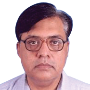
DR. VISHNU CHANDRA, DDG & Group Head - RS & GIS, Utility Mapping and Urban Development National Informatics Centre, India
DR. VISHNU CHANDRA DDG & Group Head - RS & GIS
Utility Mapping and Urban Development National Informatics Centre
India
DR. SWARNA SUBBA RAO, Surveyor General, Survey of India, India
DR. SWARNA SUBBA RAO Surveyor General
Survey of India
India
DR. BHOOP SINGH, Head of Scientific Divisions, Department of Science & Technology, Government of India
DR. BHOOP SINGH Head of Scientific Divisions
Department of Science & Technology
Government of India
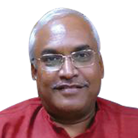
DR. KJ RAMESH, Director General India, Meteorological Department, India
DR. KJ RAMESH Director General India
Meteorological Department
India
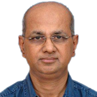
P G Diwakar, Scientific Secretary, ISRO,
P G Diwakar Scientific Secretary
ISRO
Dr. Y V N Krishnamurthy, Director, National Remote Sensing Centre,
Dr. Y V N Krishnamurthy Director
National Remote Sensing Centre
TIM TRAINOR, Chief of Geography Division, US Census Bureau, USA
TIM TRAINOR Chief of Geography Division
US Census Bureau
USA
IVAN DELOATCH, Executive Director, Federal Geographic Data Committee, USA
IVAN DELOATCH Executive Director
Federal Geographic Data Committee
USA
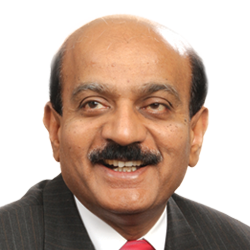
India as Market for Geospatial Technology and India as Source for Solution and Services23 Jan 2017 1500 - 1545 hrs
DR. BVR MOHAN REDDY, Founder, Chairman and Managing Director Cyient, India
DR. BVR MOHAN REDDY Founder
Chairman and Managing Director Cyient
India
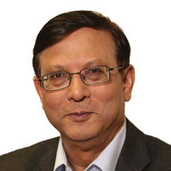
RAKESH VERMA, Managing Director, MapmyIndia, India
RAKESH VERMA Managing Director
MapmyIndia
India
Rajesh Alla, Chairman and Managing Director, IIC Technologies, India
Rajesh Alla Chairman and Managing Director
IIC Technologies
India
Vaibhav Malik, Senior Manager - Aerospace and Defense, USIBC, India
Vaibhav Malik Senior Manager - Aerospace and Defense
USIBC
India
Sajid Malik, Chairman & Managing Director, Genesys International, India
Sajid Malik Chairman & Managing Director
Genesys International
India
Rajan Aiyer, Managing Director, Trimble, India
Rajan Aiyer Managing Director
Trimble
India
DEAN ANGELIDES*, Corporate Director - International Operations, Esri, USA
DEAN ANGELIDES* Corporate Director - International Operations
Esri
USA
Dr. Kumar Navulur, Senior Director, Strategic Business Development, DigitalGlobe,
Dr. Kumar Navulur Senior Director, Strategic Business Development
DigitalGlobe
DIPANSHU SHARMA, Founder & CEO, xAD, USA
DIPANSHU SHARMA Founder & CEO
xAD
USA
Joe Francica, Managing Director -Geospatial Industry Solutions, Pitney Bowes, USA
Joe Francica Managing Director -Geospatial Industry Solutions
Pitney Bowes
USA
Steven Hagan, Vice President of Development for Server Technologies, Oracle, USA
Steven Hagan Vice President of Development for Server Technologies
Oracle
USA
Educational Programs and Developing Capacity for the Geospatial Industry23 Jan 2017 1545 - 1630 hrs
DR. RICHARD SOLEY, Chairman and CEO, Object Management Group, USA
DR. RICHARD SOLEY Chairman and CEO
Object Management Group
USA
DR. VINAY KUMAR DHADWAL, Director, Indian Institute of Space Science and Technology, India
DR. VINAY KUMAR DHADWAL Director
Indian Institute of Space Science and Technology
India
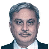
DR. SHAILESH NAYAK, Distinguished Professor, Ministry of Earth Sciences, India
DR. SHAILESH NAYAK Distinguished Professor
Ministry of Earth Sciences
India
DR BHARAT LOHANI, Chairman, Geokno & Professor IIT Kanpur, India
DR BHARAT LOHANI Chairman
Geokno & Professor IIT Kanpur
India
Dr. T P Singh, Director, Symbiosis Institute of Geoinformatics,
Dr. T P Singh Director
Symbiosis Institute of Geoinformatics
Dr. T P Singh*, Director, BISAG,
Dr. T P Singh* Director
BISAG
BUDHENDRA BHADURI, Director, Urban Dynamics Institute Oak Ridge National Laboratory, USA
BUDHENDRA BHADURI Director
Urban Dynamics Institute Oak Ridge National Laboratory
USA

Michael Goodchild, Professor Emeritus of Geography, University of California,
Michael Goodchild Professor Emeritus of Geography
University of California
E. Lynn Usery, Research Physical Scientist, USGS,
E. Lynn Usery Research Physical Scientist
USGS
Prof. Shaowen Wang, Professor, Geography & Geographic Information Science, Professor, Computer Science, Founding Director, CyberGIS Center for Advanced Digital and Spatial Studies, University of Illinois at Urbana-Champaign (UIUC), ,
Prof. Shaowen Wang Professor, Geography & Geographic Information Science, Professor, Computer Science, Founding Director, CyberGIS Center for Advanced Digital and Spatial Studies
University of Illinois at Urbana-Champaign (UIUC)

* Tentative Speaker

Preliminary Agenda

23 January 2017

1230-1330 hrs

Opening Session

1330-1415 hrs

Networking Lunch

1415-1500 hrs

Geospatial Infrastructure and Policies

1500-1545 hrs

India as Market for Geospatial Technology and India as Source for Solution and Services

1545-1630 hrs

Educational Programs and Developing Capacity for the Geospatial Industry

1630-1645 hrs

Conclusions and Recommendations

Objectives

The primary process for bridging the gap between the Indian and US geospatial communities will be the effective and efficient use of existing professional venues that are already attracting a large number of government, industry, utility and academic managers and decision-makers. The bilateral exchange forum which include representatives from all vital economic and government sectors will serve to bring together these two complementary national communities.

To that end, the primary intent and purpose of this bilateral forum is threefold:

  • To raise awareness of the technologists, educators and practitioners in both countries that more and closer cooperation is essential for all to prosper;
  • To identify and begin to overcome barriers to effective collaboration between India and the US in order to achieve these objectives; and
  • To establish and sustain collaborative efforts well into the future to ensure the viability and success of this cycle.

The platform will:

  • Provide through substantive interaction among government, academia and industry
  • Provide an opportunity, to exchange ideas, information, skills and technologies, and to collaborate on technological endeavor of mutual interest that can translate the power of geospatial for the benefit at large.
  • Be a platform for dissemination of information and creating awareness through substantive interactions between Indian and American geospatial stakeholders.
  • Facilitate exchange of information on the current state-of-the-art and the state-of-practice of Geospatial Application

Expected Outcomes

  • Review, discussion and preparation of material to be included in the final project report
  • Summaries of Indo-US national geospatial policies
  • Documentation of national Indo-US geospatial policy trends
  • A better understanding of geospatial issues, needs, strengths and areas of common interest and concerns
  • Identification of collaborative geospatial efforts mutually beneficial to both parties to strengthen collaboration and mutual cooperation between the United States and India in the geospatial field
  • An analysis of the geospatial industry in India and the US
  • Summaries of Indo-US national geospatial policies
  • Complete summary of technical issues and related opportunities
  • Definition of current and future geospatial industry workforce issues in India and the US
  • Identification of additional geospatial application areas for further research
  • Education and technical exchange opportunities

Contact

For invitation and other queries, kindly contact:
Ms. Anamika Das
Vice President – Market Intelligence & Business Consulting
anamika@geospatialmedia.net